Night-Scape Resources
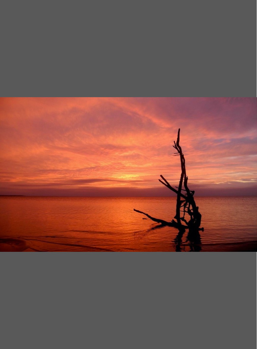
Northeastern North Carolina Coastal System
In a quest to better understand the nocturnal environment and dark skies of the region, North Carolina Land of Water and A Time For Science designed a study to map and characterize the landscapes, soundscapes, and viewscapes of the Outer Albemarle Peninsula across four eastern NC counties.
PART 1: Pages 1 – 60 describes the night sky and nocturnal environment of the Outer Albemarle Peninusla (OAP)
PART 2: Pages 61 – 156 describes the Night-scape Survey Sites
Read the full report by clicking here.
View the presentation version of the report here, presented at NC Sea Grant Coastal Conference, November 2019.
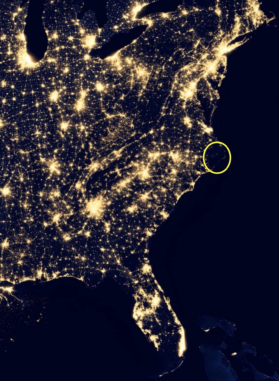
City lights of the United States in 2012 by NASA Goddard and created on 12-8-2017. Visible infrared imaging Radiometer Suite.

PROPOSED SCUPPERNONG TRAIL SYSTEM OF POCOSINS, CAROLINA BAYS, & BLACK-WATER STREAMS
From a natural history point of view, the Scuppernong coastal system is a “wildlife spectacle” that is sometimes referred to as the “Yellowstone of the East” due to the unique landscapes, diverse ecosystems, and abundance and variety of wildlife. However, there are no raw and awe-inspiring snow-capped mountains, lush high meadows with elk and bison, or geysers with boiling hot springs. Rather, the “Yellowstone of the East” is a more introspective and contemplative landscape that requires one to slow down and become acquainted with that most crucial of natural resources: WATER. This region is North Carolina’s “Land of Water”; a great mixing basin and transition zone where upland rivers meet the sea.
Read the full report by clicking here.
FROM RIVERS TO SOUNDS
IN THE BERTIE WATER CRESCENT
A WATER-BASED VISION FOR SUSTAINABLE ECO-TOURISM AND ENVIRONMENTAL EDUCATION
BERTIE COUNTY, NC
Want to know more about NC LOW?
Friends of NC LOW
A Time for Science
Albemarle-Pamlico National Estuarine Program
Alligator River National Wildlife Refuge
Bertie County
Cape Hatteras National Seashore
Cape Lookout National Seashore
Eastern 4-H Environmental Education Center
East Carolina University
ECU Coastal Studies Institute
Explore North Carolina
Kenan Institute of Engineering, Technology &
Science
Kenan Institute of Private Enterprise
Mattamuskeet National Wildlife Refuge
NC Coastal Atlas
NC Coastal Federation
Friends of NC Low
NC Coastal Land Trust
NC Dept of Commerce—Underserved & Limited
NC Natural Science Museum
NC Partnership for the Sounds
NC Sea Grant Program
NC Space Grant Program
NC Water Resources Research Institute
Pettigrew State Park
Pocosin Arts
Pocosin Lakes National Wildlife Refuge
Reisert Foundation
Roanoke River National Wildlife Refuge
Roanoke River Partners
Somerset Place Historic Site
Town of Windsor
Z. Smith Reynolds Foundation